
5 Family Friendly Hikes in Salida & Buena Vista, Colorado
When I first moved to Salida, I had no idea where to hike. I just knew there were a ton of trails on my doorstep to try out. Years later, these are now some of my favorite hikes in the area. I’ve taken friends and family on these hikes when they come to visit and frequent them with my dog. I think they showcase the wide range beautiful natural features in the Arkansas River Valley. Did I miss your favorite? Let me know in the comments!
As always, plan ahead and prepare for any hiking you do and follow Leave No Trace principles! Check out these safety tips for hiking in Colorado, too.
1. Lost Lake Trail - Buena Vista
Best Time to Hike: Summer
Elevation Gain: 465 ft
Round Trip Distance: 2.6 mi (out and back)
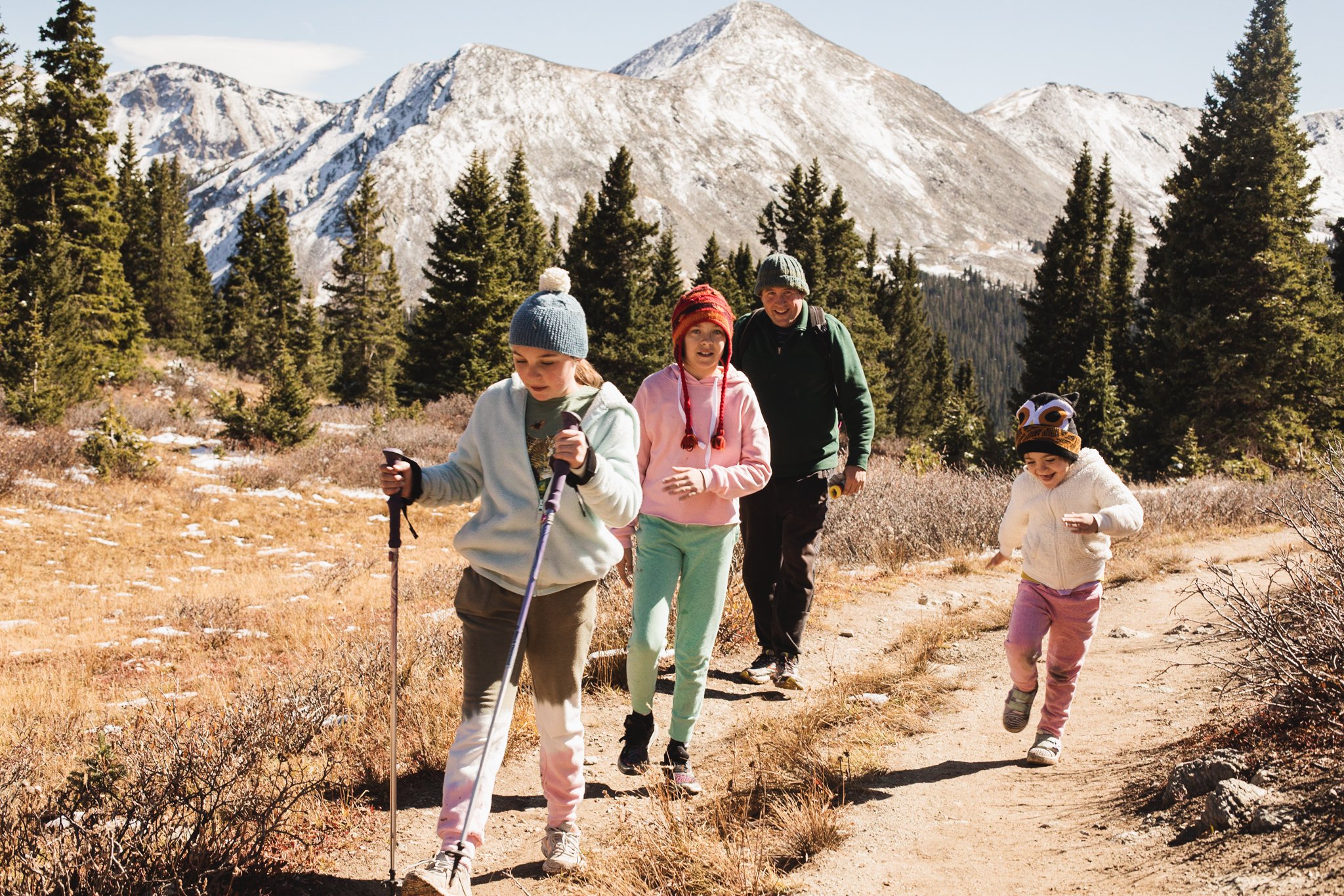
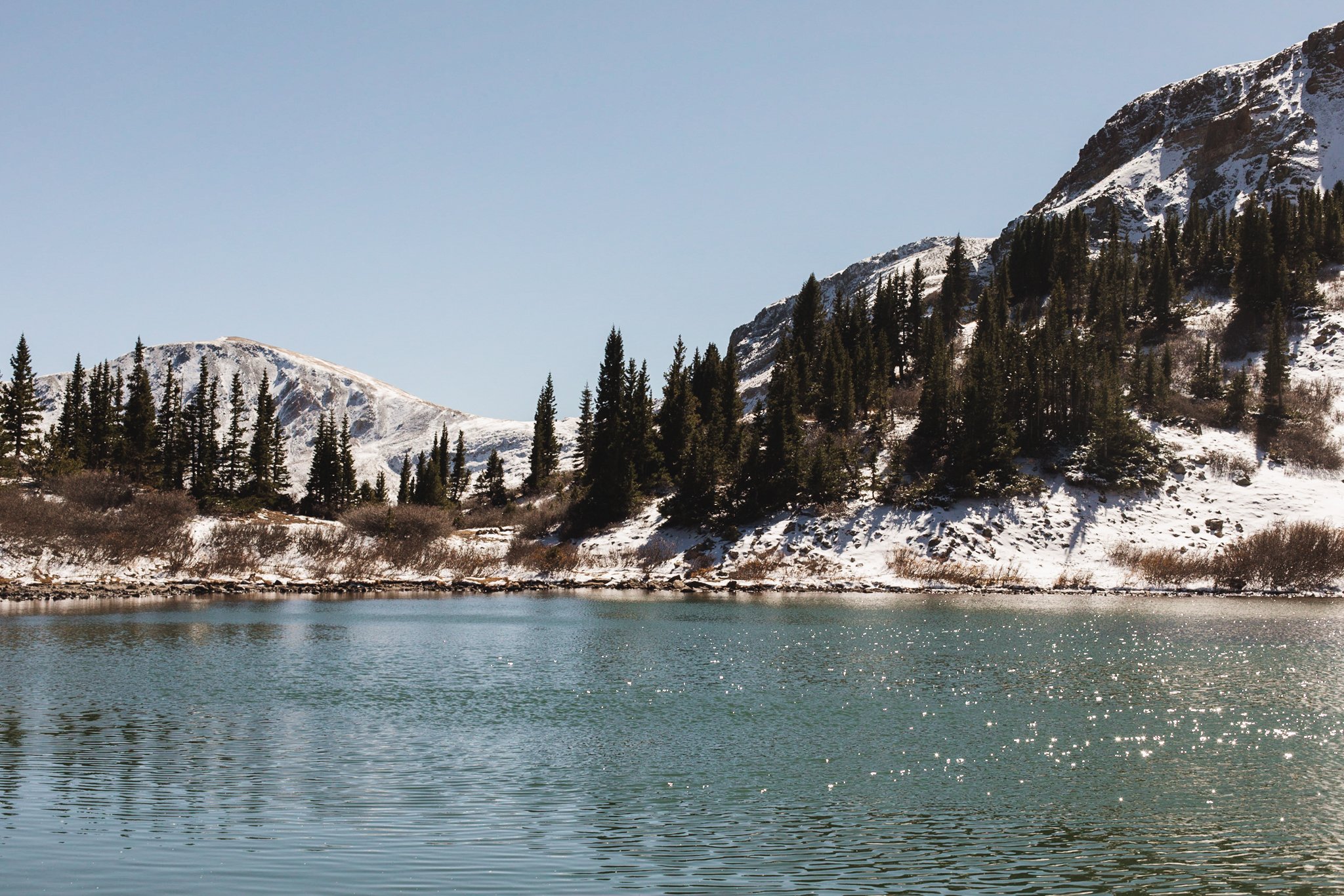
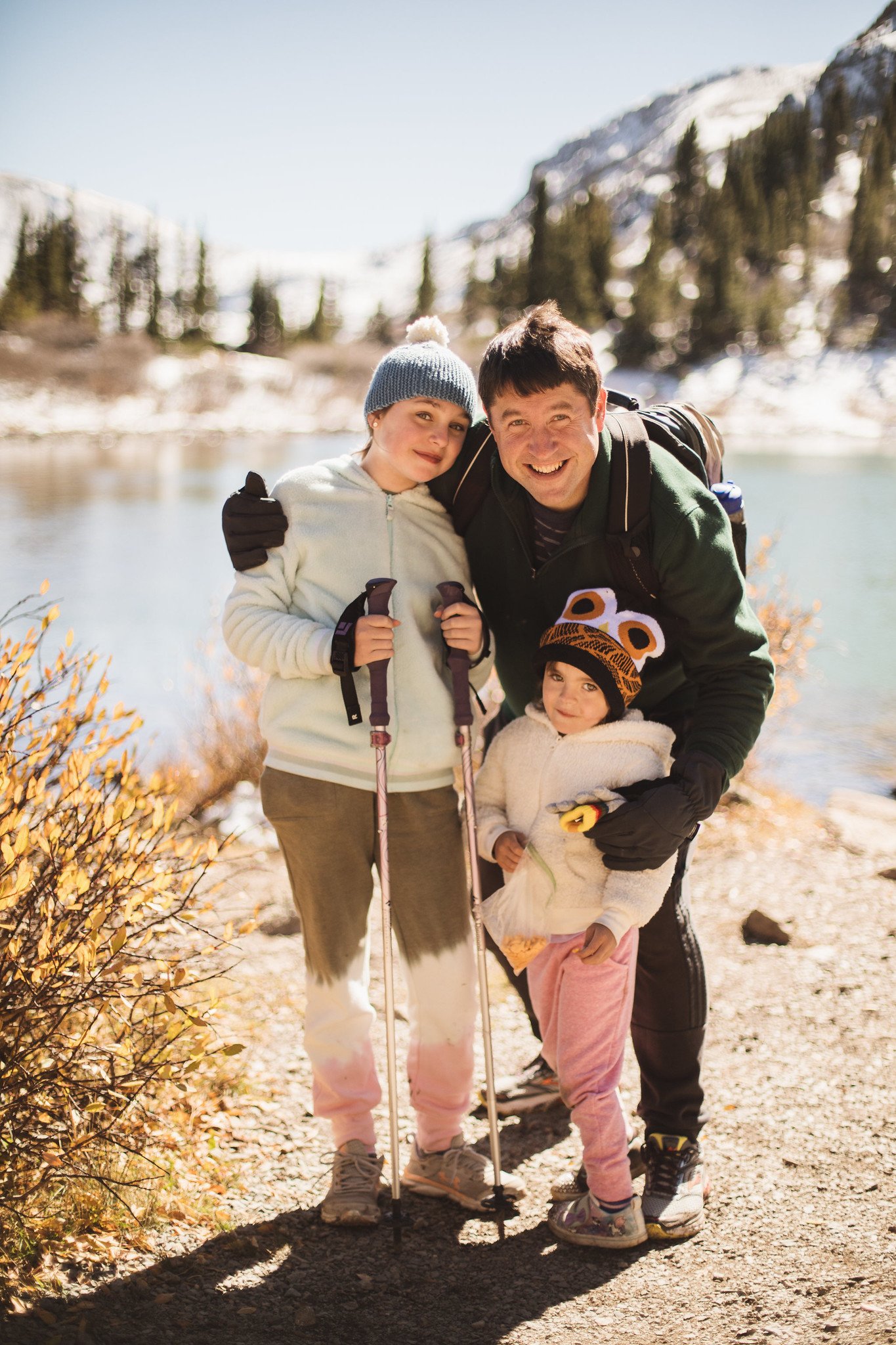
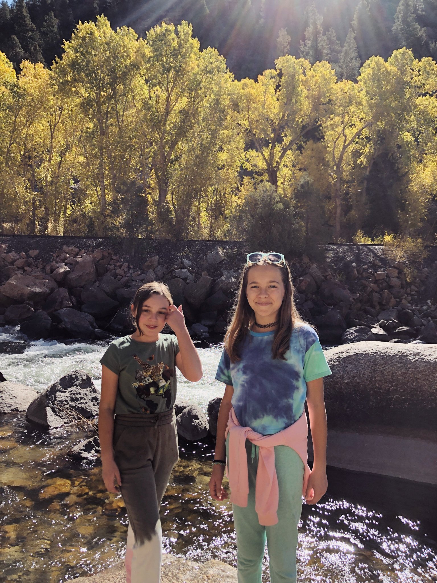
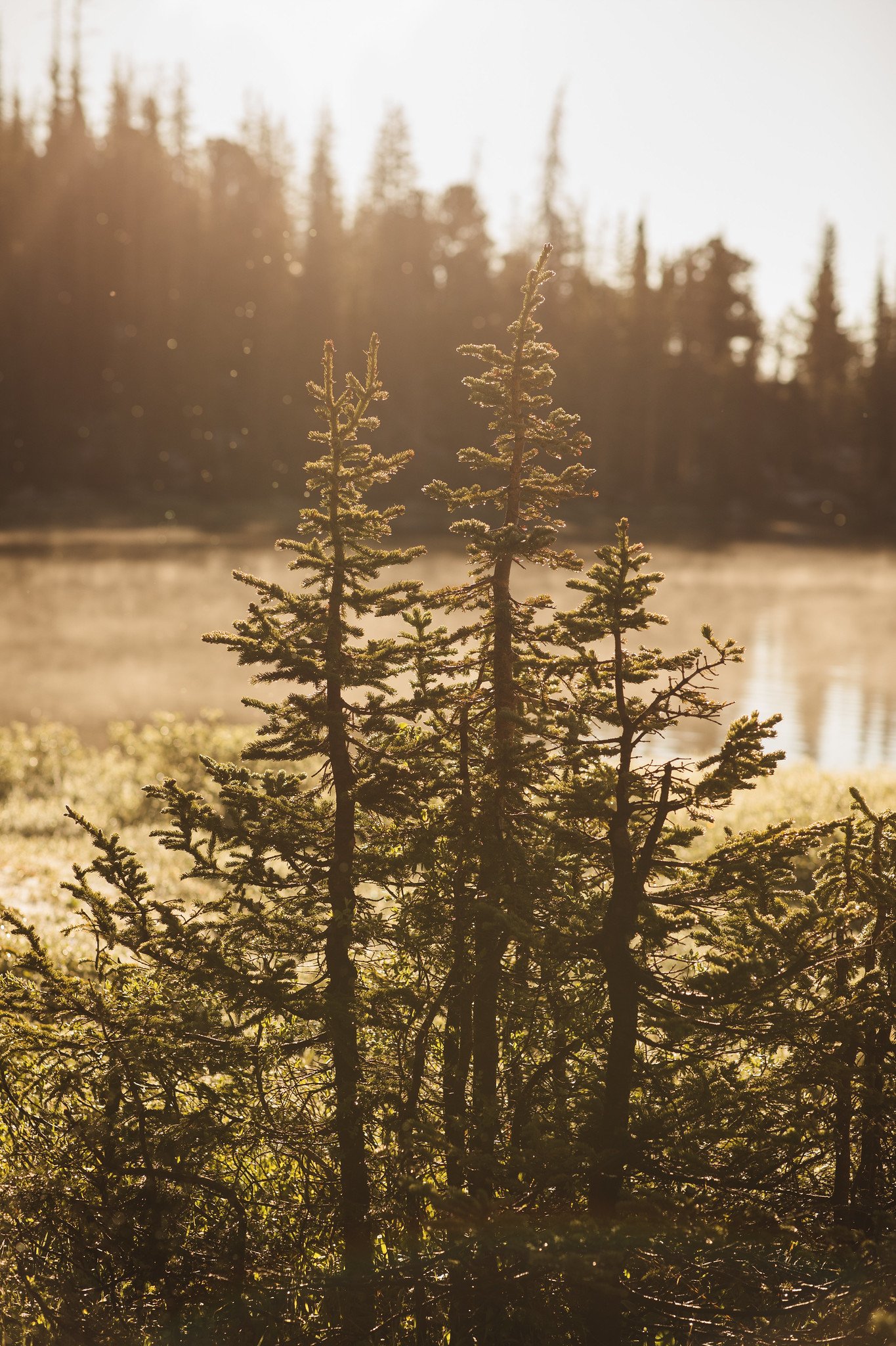
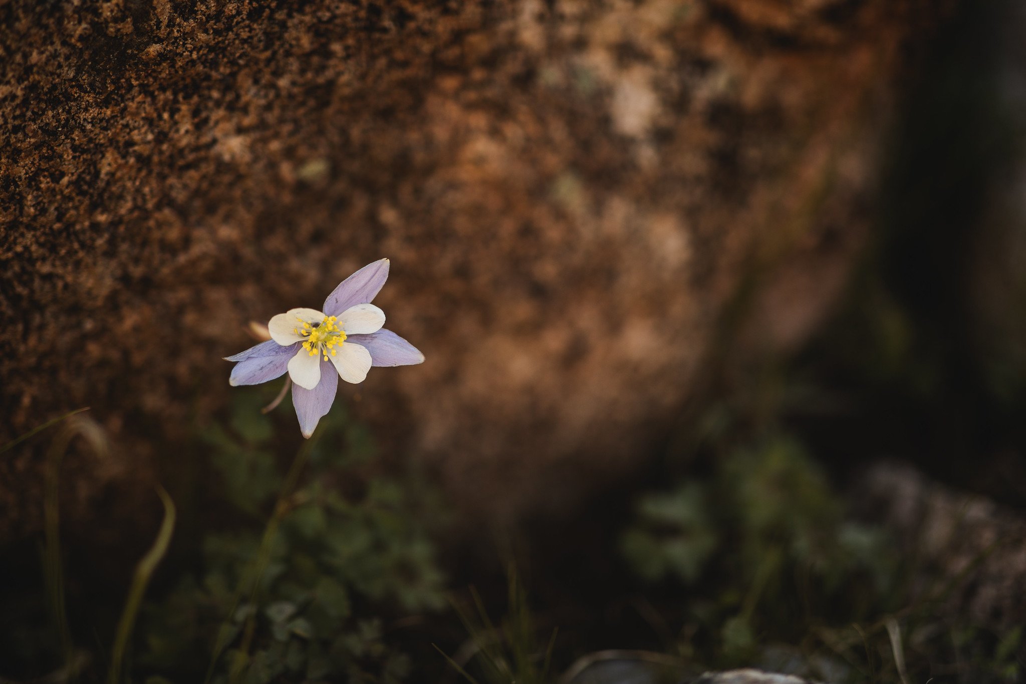
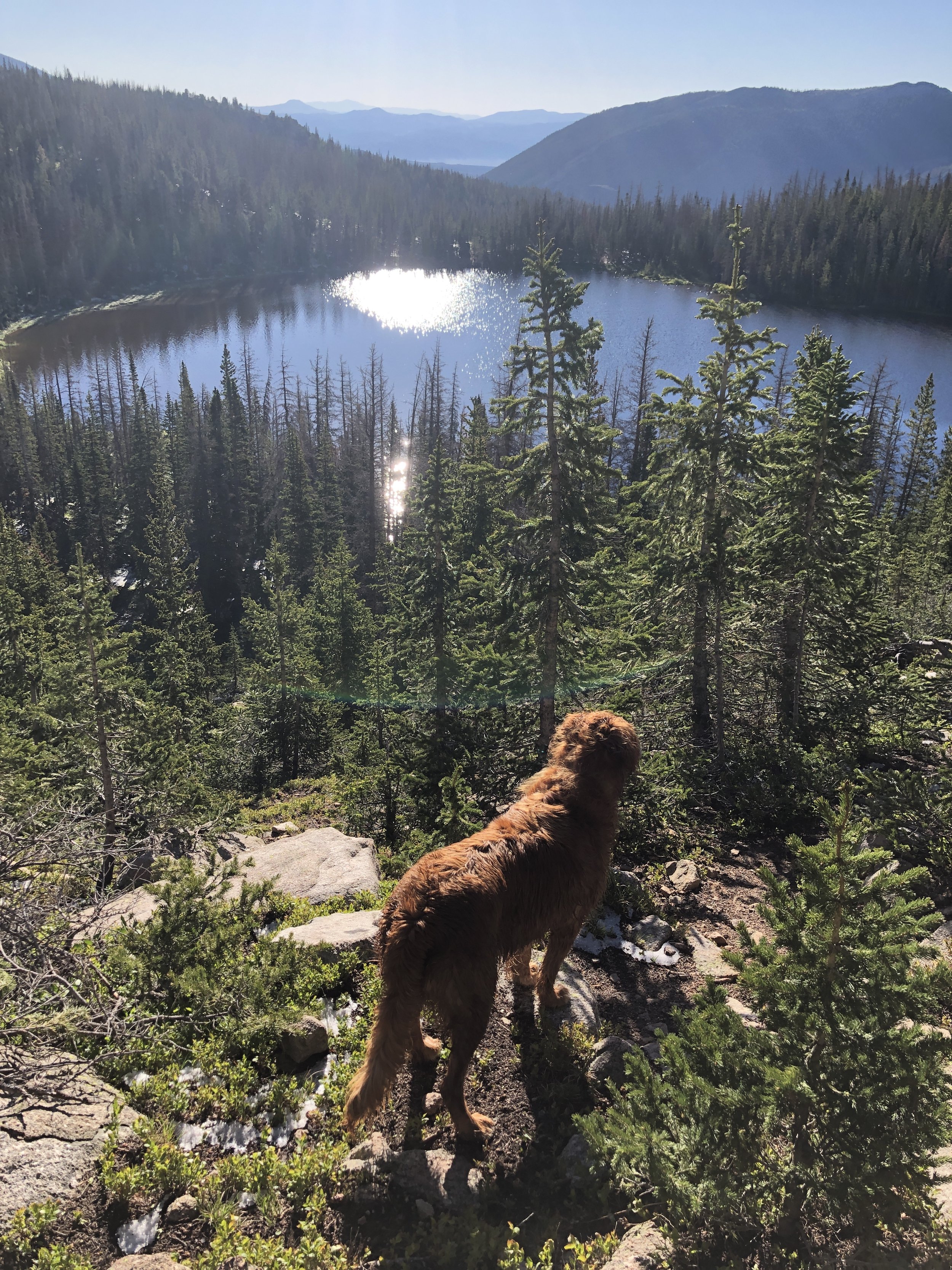
I have hiked this trail multiple times and it’s always enjoyable. My favorite excursion was when my brother and nieces joined me during their visit from Maine in the fall. The trailhead is just below Cottonwood Pass so it’s a cool way to experience the high elevation vistas without having to hike many miles or traverse steep sections. The trail is at around 10,000 ft, though, so if you don’t already live and hike in elevation, you will feel it! Take lots of breaks and drink plenty of water. The views at the end are stunning. The trail starts along an old logging road, then you weave your way through a spruce forest. Trail eventually opens up to reveal rocky peaks and a beautiful alpine lake with an island in the center. Once you reach Lost Lake, you can hike around it or turn around and hike back out. Be sure to pack a picnic lunch or snack to enjoy!
More Information: This trail was re-routed during 2022-2023 and the new route and trailhead parking area is now open. AllTrails | Pike-San Isabel National Forests
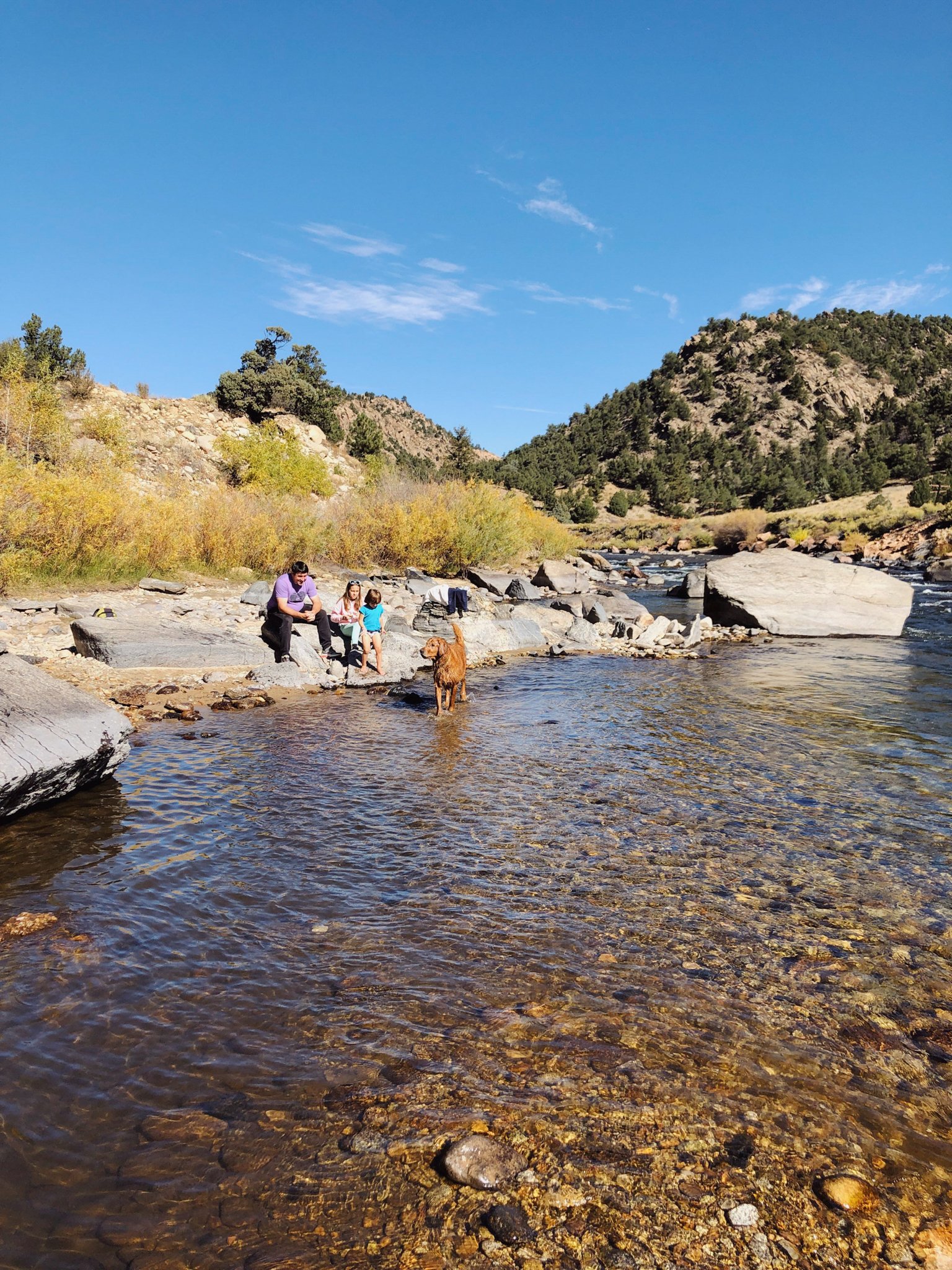
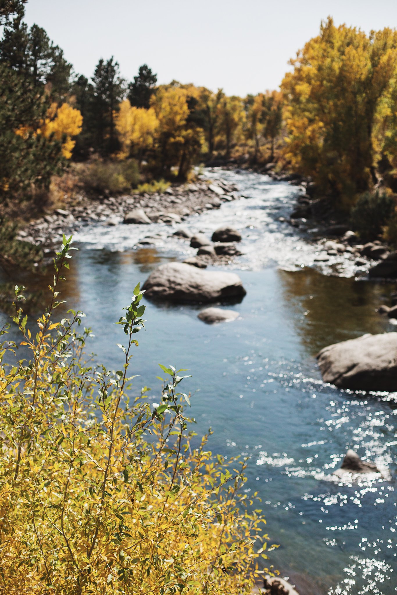
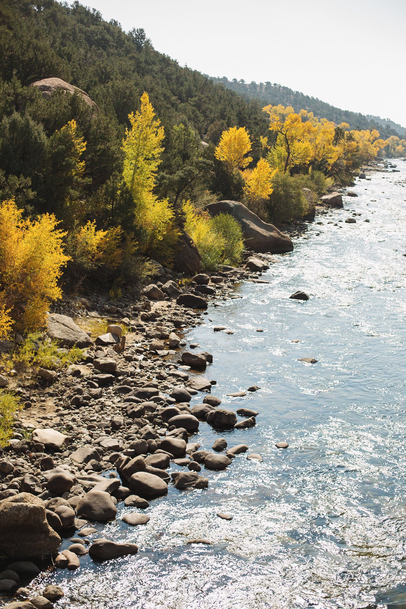
2. Arkansas River Trail from Hecla Junction - Salida/Nathrop
Best Time to Hike: Summer, Fall
Elevation Gain: 108 ft
Round Trip Distance: 2.1 mi (out and back)
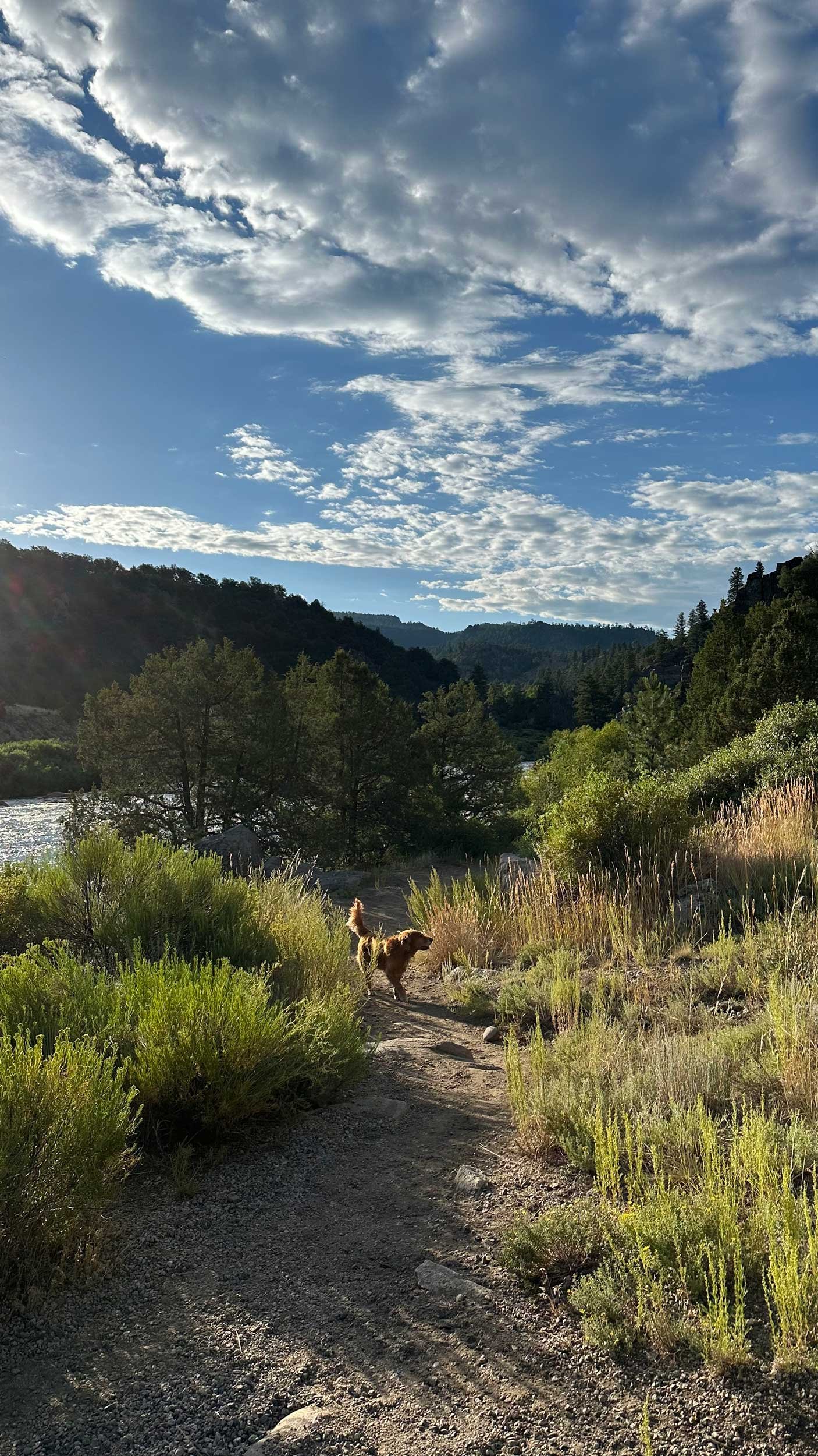
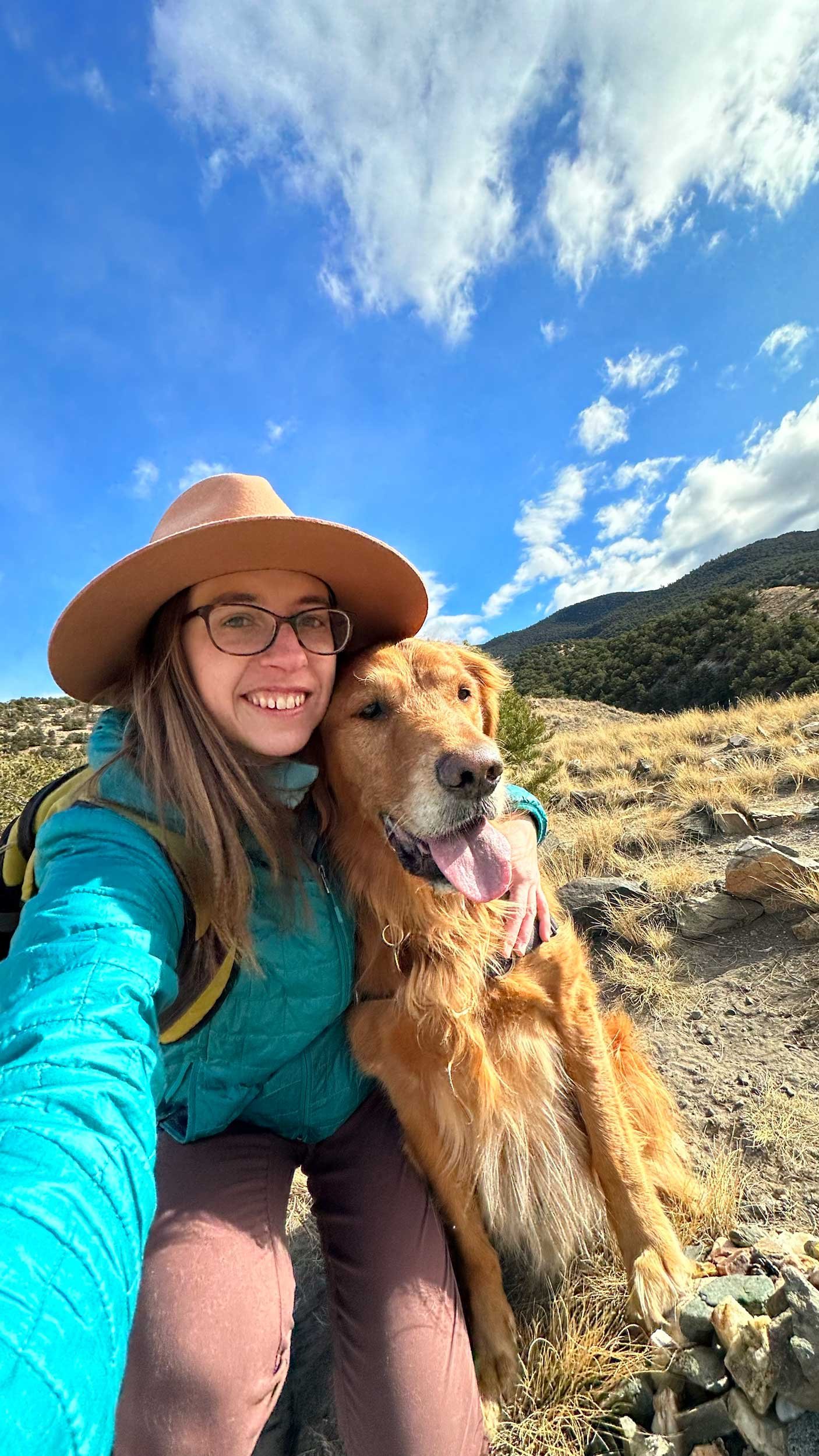
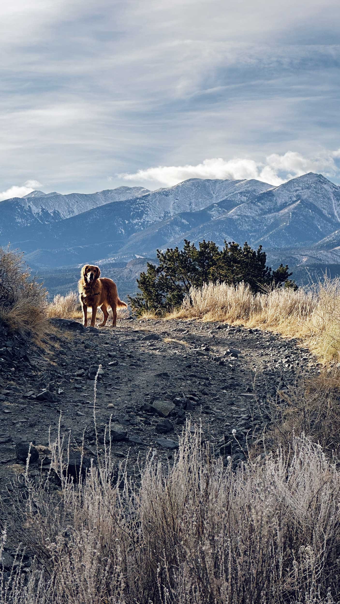
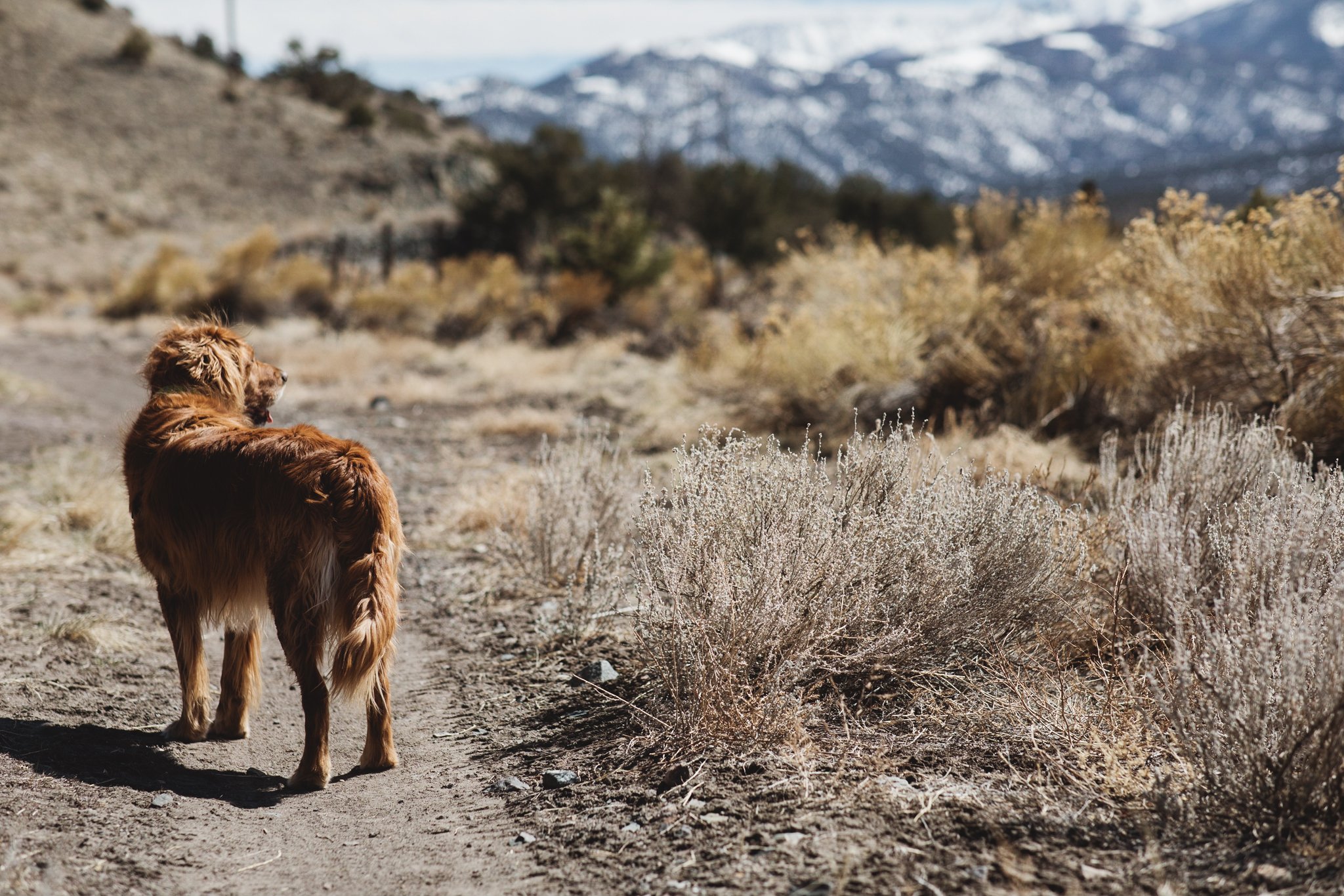
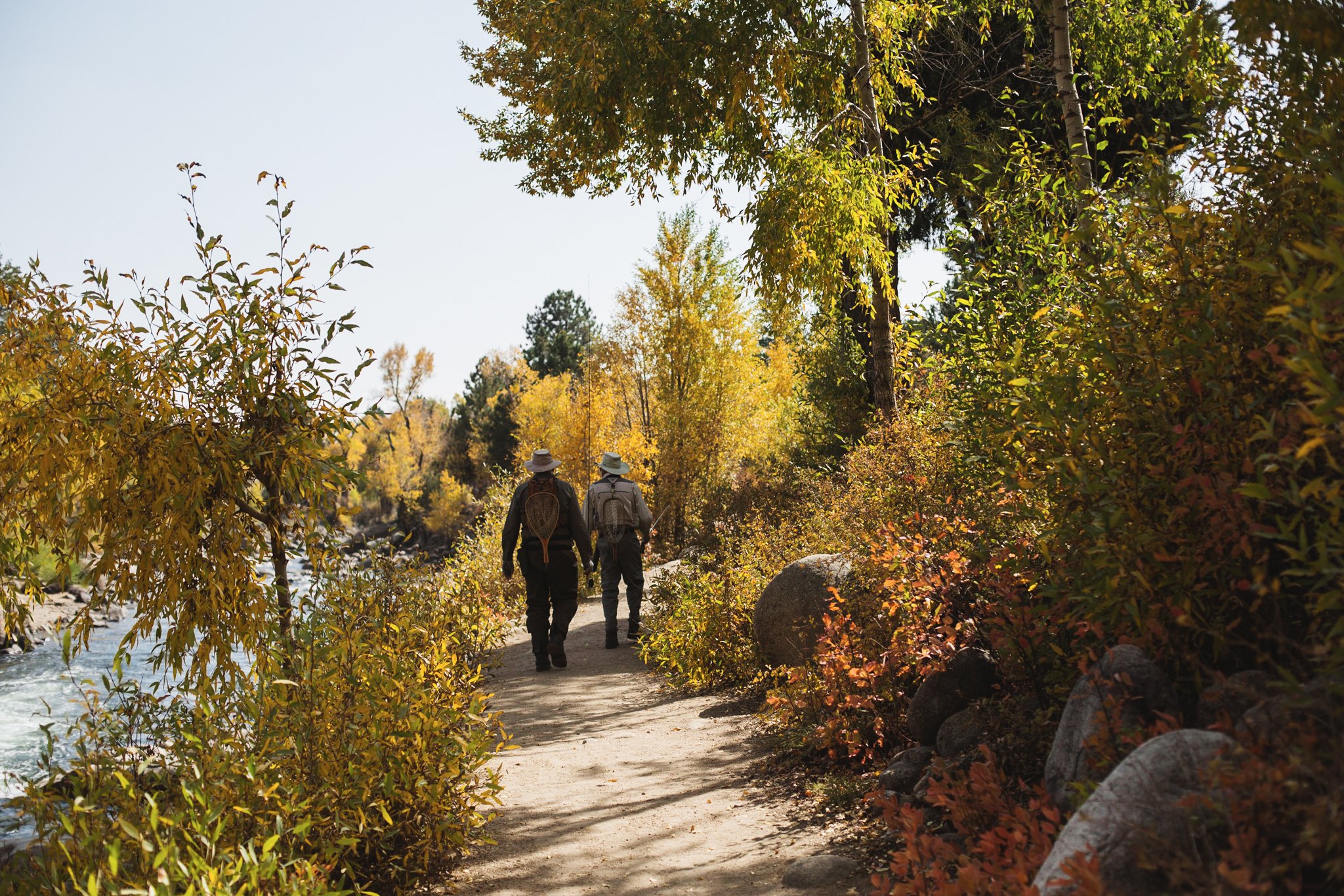
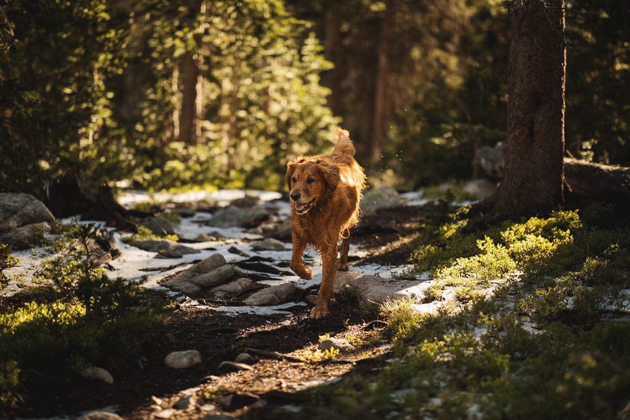
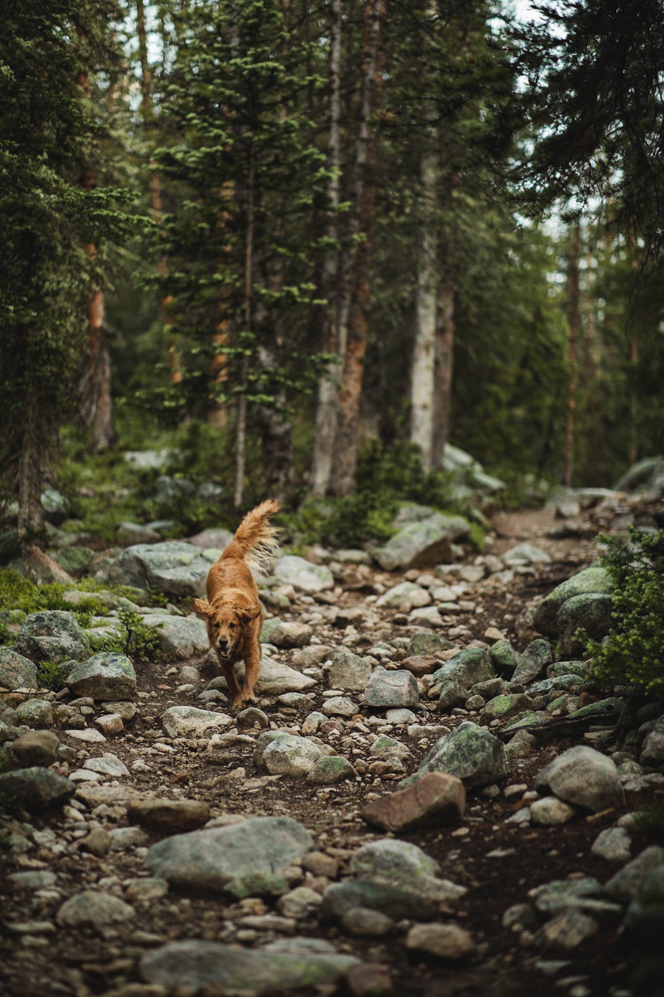
This is one of my favorite trails because my golden retriever, Solstice, loves it SO much. The trail follows the Arkansas River through Brown’s Canyon National Monument. Solstice loves to run in and out of the river as we hike the trail. It’s used by hikers and anglers alike, so I try to be on the lookout and not let Solstice disturb anyone fishing. The trailhead is at Hecla Junction at the end of the parking lot by the picnic area. There’s great views of rapids as well as the amazing rock formations throughout Brown’s Canyon. It’s fun to watch the rafters going down the river in the summer. There are many places to stop and have a picnic or snack along the river, however there isn’t much shade. On your return hike to the parking area, hug the river when the trail spurs to see a spectacular view of Mt. Princeton.
More Information: AllTrails | Arkansas Headwaters Recreation Area
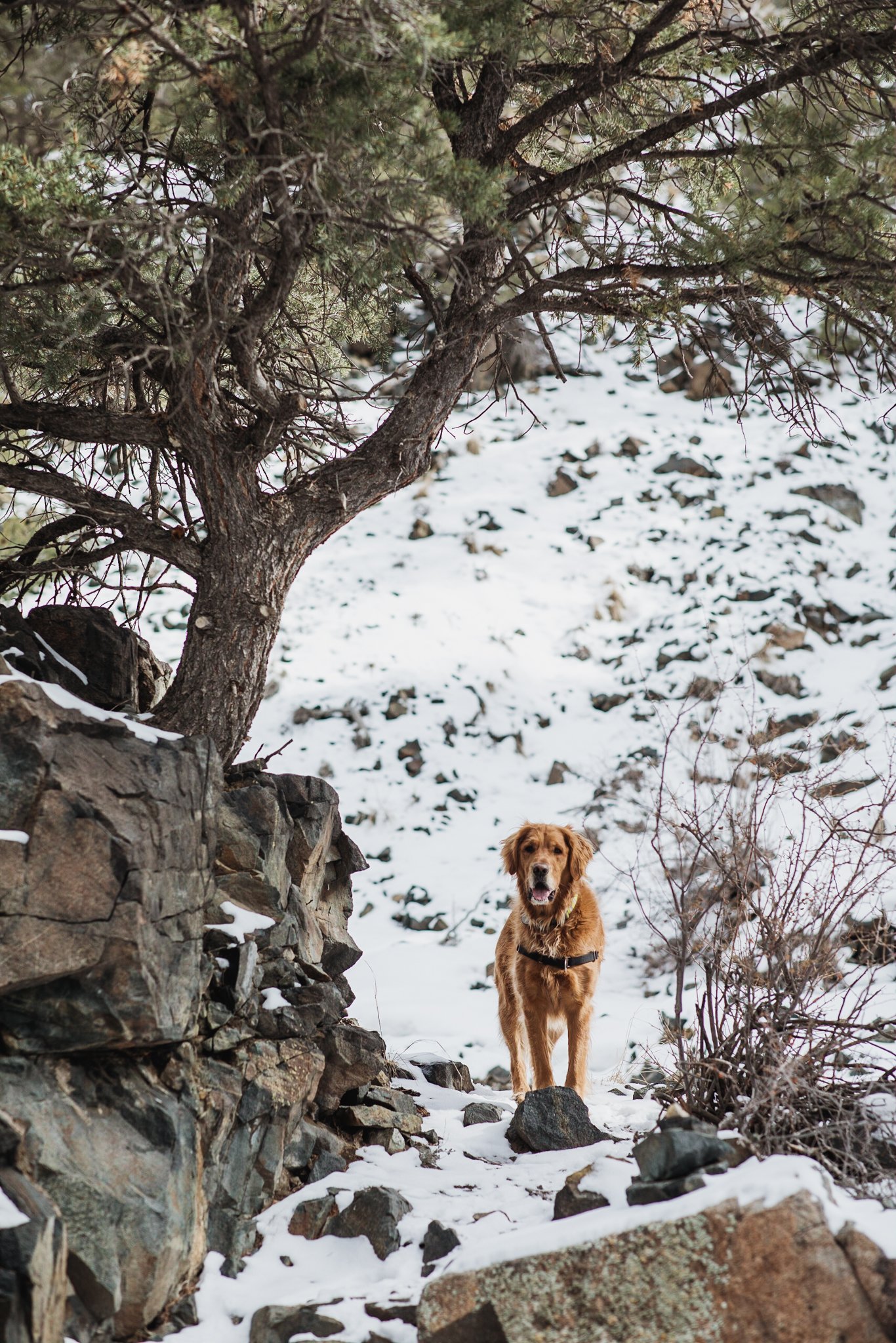
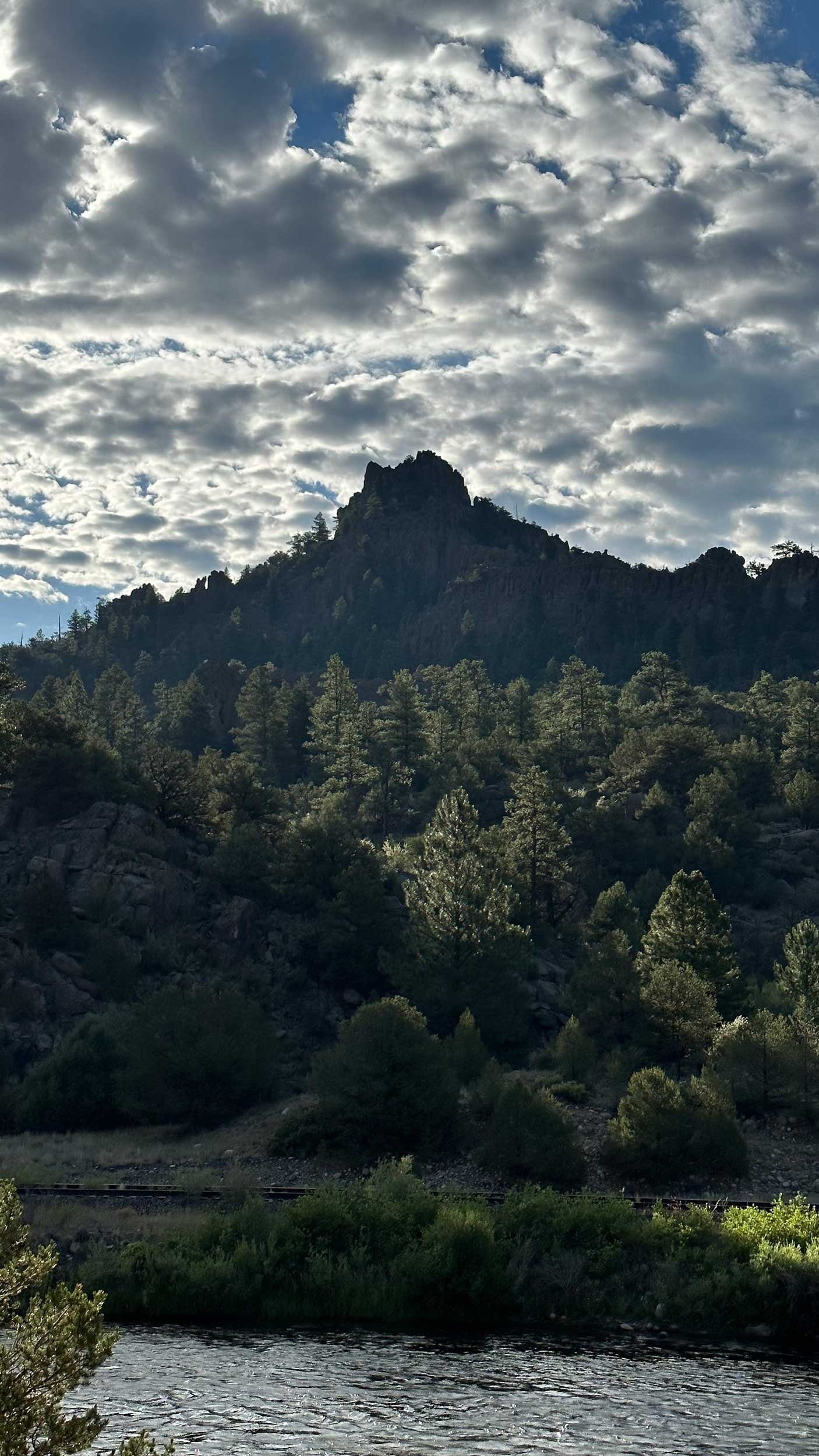
3. Labyrinth Trail - Salida
Best Time to Hike: Winter
Elevation Gain: Approx. 800 ft
Round Trip Distance: Approx. 3 mi (out and back)
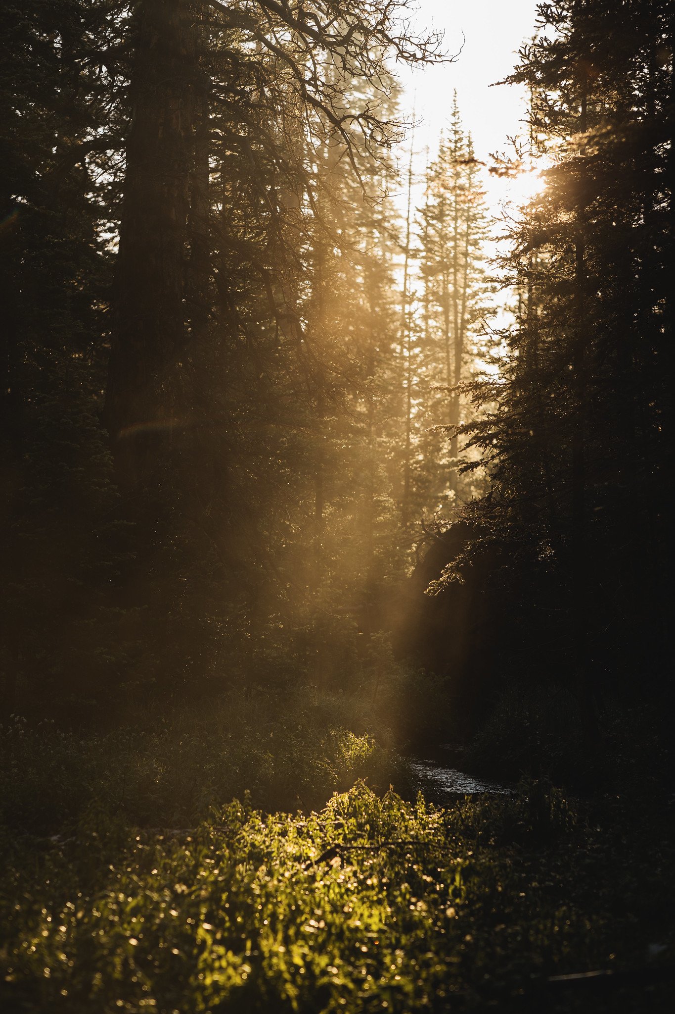
This is one of the best kept secrets in Salida. The more popular choice for visitors is Tenderfoot Mountain or “S” Mountain as it’s commonly called. This hike is longer and a little more gradual. You don’t go as high as S Mountain, but you still get an incredible view of the region once the trail takes you up into the hills. Start the hike at the parking area at the end of F Street across the river from downtown Salida. You hike east on a 4x4 road to start. After you pass the junction with Rise n Shine trail keep your eyes peeled. The next sign will be for the Labyrinth Trail, which is hiking only. The trail ends at a great vantage point where you can see the Sangre de Cristo mountains, Mt Ouray, and the Collegiate Peaks. The best part is there is an actual labyrinth or maze made out of small rocks at the end. I prefer to hike in this area during the winter because I’ve heard there are rattlesnakes in the Tenderfoot Hills area during the warmer months. The trail gets a lot of sun so it tends to stay snow free except for the portion of the trail that is in a shady canyon.
More Information: Salida Mountain Trails
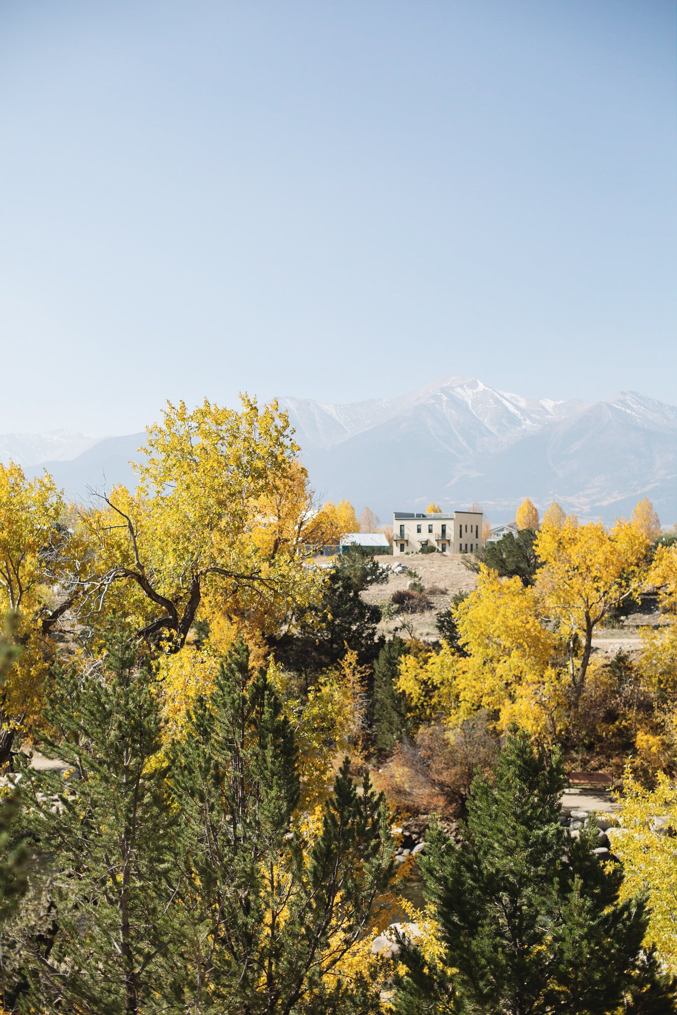
4. Bridge to Bridge Trail - Buena Vista
Best Time to Hike: Year-Round, but fall is extra spectacular!
Elevation Gain: 118 ft
Round Trip Distance: 2 miles (loop or out and back)
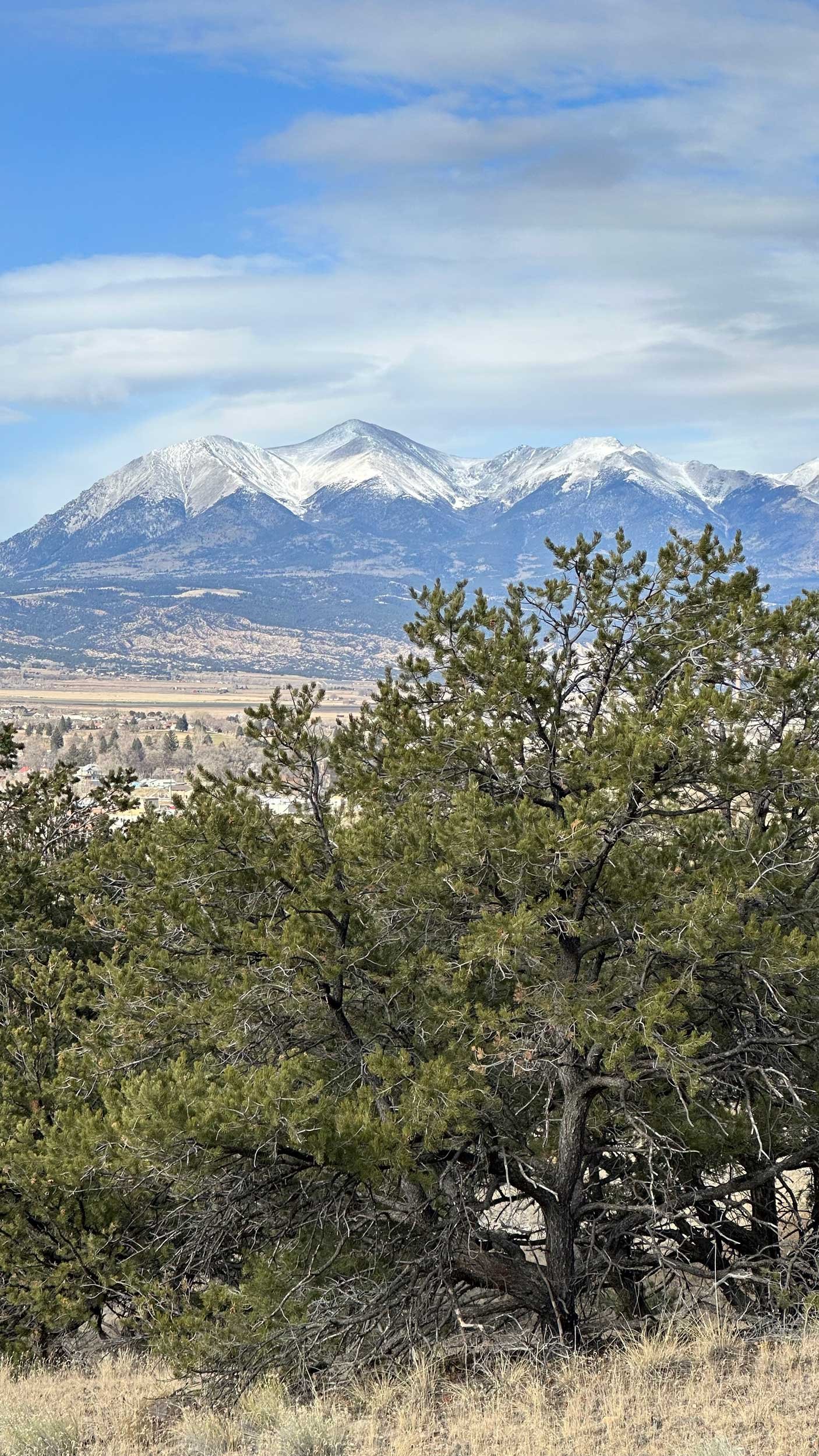
This is a popular hike that offers great features for a variety of hikers. It’s another trail I love to hike with visitors. It has great views of Buena Vista, Mount Princeton, and the Collegiate Peaks. It follows the Arkansas River in Buena Vista. You can start at either end, but I typically start at the Whitewater Park. There a pavilion with restrooms and a water fountain which is handy. I usually cross the bridge first and hike on the far side of the river first. It’s rocky and hilly and has the best views. It can be tricky to find the trail in a couple places, as long as you see the river you should be fine! It can be a popular trail, so be courteous to other hikers and let faster folks pass. I love seeing all the different kinds of happy people on the trail. Once I cross the bridge on the far end you walk back to the parking area on a wider, flatter trail. There are a few sections with stairs. I love to do this hike and then grab a bite to eat in downtown BV!
More Information: AllTrails | Buena Vista Recreation Information (click on the BV Area Trails Map)
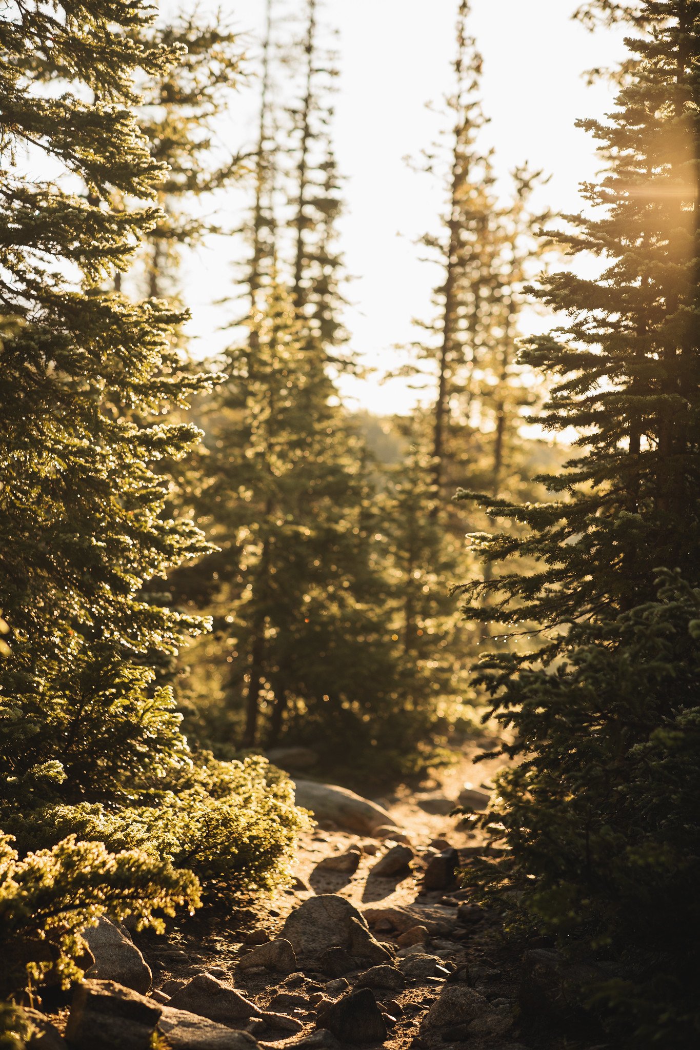
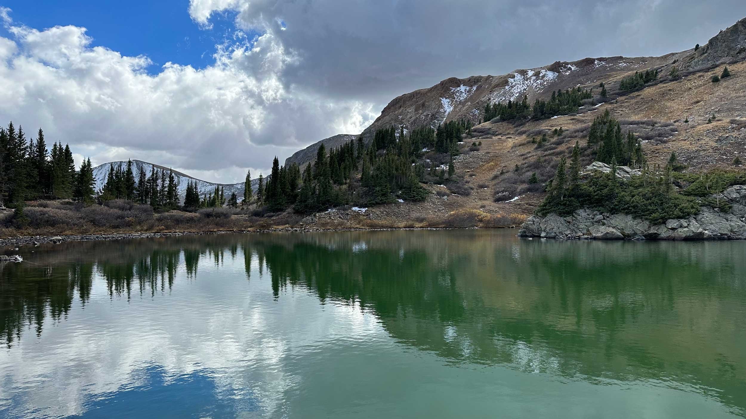
5. Waterdog Lakes Trail - Salida
Best Time to Hike: Summer
Elevation Gain: 1,062 ft
Round Trip Distance: 3.2 mi (out and back)
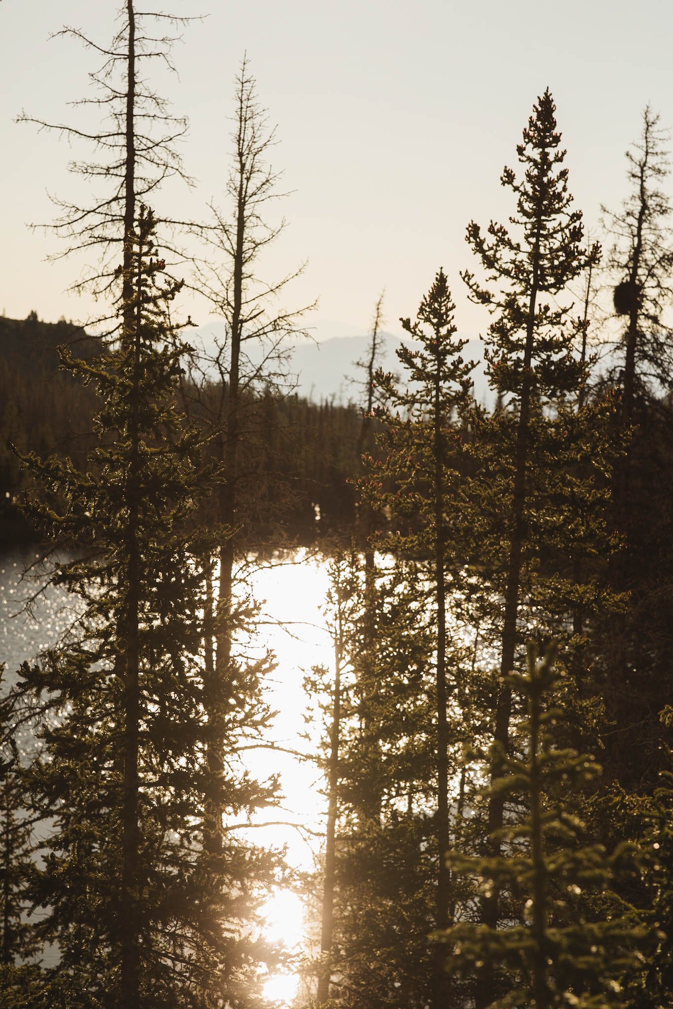
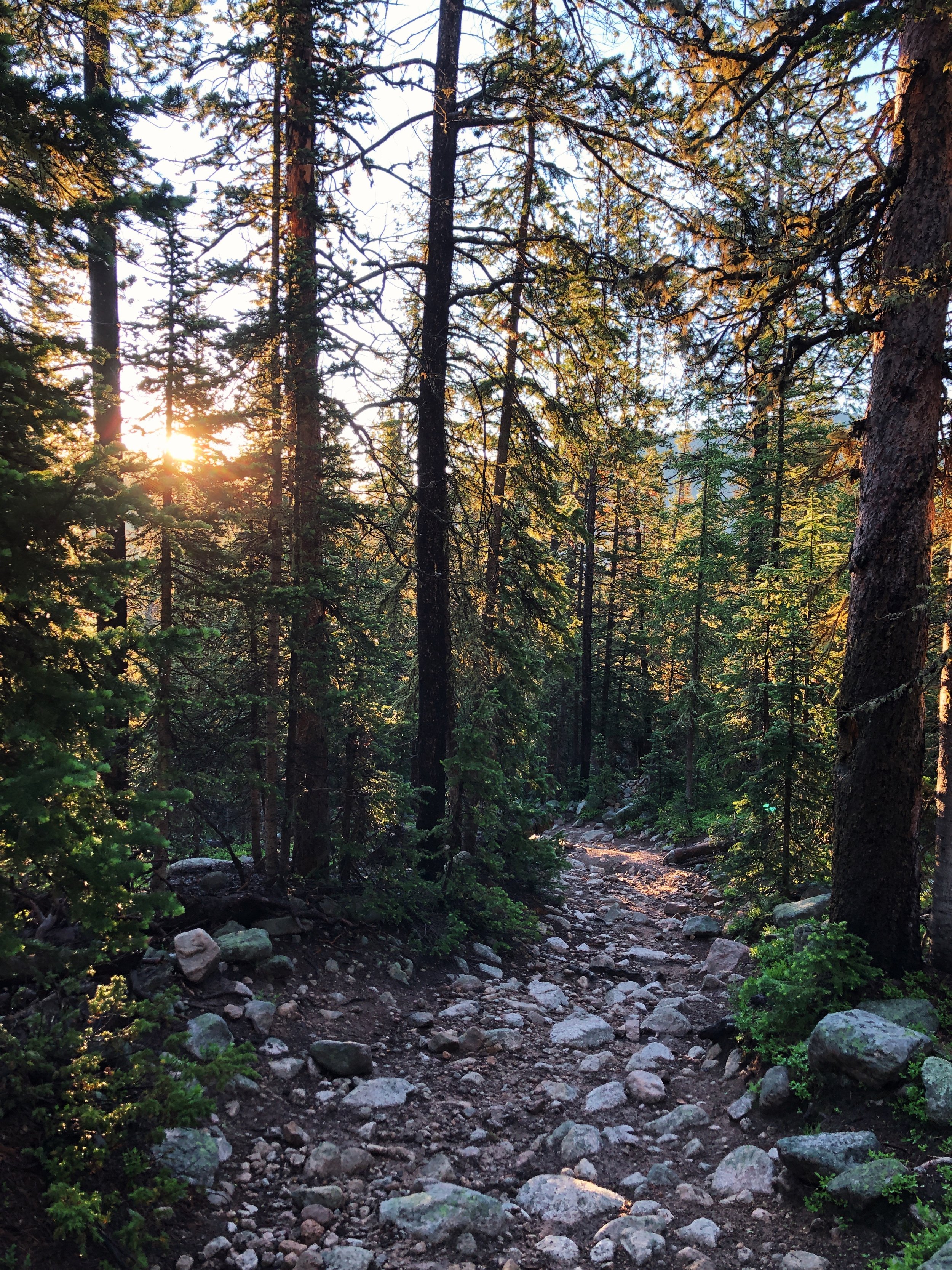
I’ve done this hike a few times and it’s one of my favorite alpine lake hikes. If you can’t tell by now, I just love a hike that’s less than 5 miles total and relatively chill, you know? This is the most arduous hike on my list, but I still think it is family friendly and great for a wide range of people. I love hiking through the spruce forest as the trail takes you higher into the mountains. The first lake you’ll reach is Waterdog Lake. If you follow the trail around the lake, you’ll find a spur trail that takes you up to a second lake with great views looking down at Waterdog Lake. I don’t think the spur is an official trail, so try to walk where people have already gone and don’t make new trails! I love starting this hike early in the morning. Happy hiking!
More Information: AllTrails | Pike-San Isabel National Forests